Autonomous navigation, mapping & earth analytics
At SkyCreatures, we specialize in building advanced systems for autonomous navigation, terrain mapping, and earth analytics — enabling unmanned platforms to move, analyze, and adapt intelligently in the physical world.
Autonomous Navigation
We develop AI-driven navigation algorithms for unmanned aerial and ground vehicles that allow:
- GPS-denied navigation using visual and inertial odometry
- Real-time path planning and obstacle avoidance
- Terrain-aware routing using onboard sensors and maps
- Integration with SLAM, Kalman filters, and sensor fusion
- Support for MavLink, ArduPilot, and other open-source autopilot stacks
Our navigation stack is built for military-grade environments, where reliability, speed, and autonomy are essential — whether it’s urban warfare, forested zones, or unstructured landscapes.
Topological mapping & 3D reconstruction
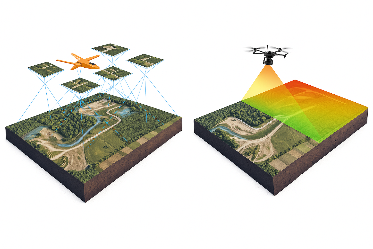
We create solutions for generating real-time 2D/3D maps of operational environments from drone-mounted sensors:
- Visual SLAM (Simultaneous Localization and Mapping)
- Stereo vision and depth sensing for surface modeling
- LIDAR & radar integration
- Generation of topological graphs for route optimization and mission planning
- Exporting maps in GIS-compatible formats for further analysis
These systems are essential for mission intelligence, route planning, and collaborative drone swarming.
Earth observation and analytics
We apply AI and computer vision to process aerial imagery and extract actionable terrain and target information:
- Change detection (before/after strike analysis, infrastructure loss)
- Terrain classification (roads, water bodies, foliage, buildings)
- Target heatmapping and anomaly detection
- Thermal and spectral image processing
- Integration with satellite and drone-captured data
- Compatibility with edge inference on Jetson Nano, RK3588, or other NPUs
These analytics support military decision-making, reconnaissance, and real-time battlefield awareness.
Built to operate — anywhere
Our mapping and analytics solutions are optimized for deployment on:
- Raspberry Pi
- Orange Pi 5
- Jetson Nano & Xavier
- Rockchip-based systems (e.g., RK1808, RK3588, RK3576)
With support for formats like ONNX, RKNN, and TensorFlow Lite, we ensure models run efficiently on lightweight, power-limited platforms with or without internet access.
SkyCreatures brings eyes, memory, and intelligence to autonomous systems — so they can navigate, map, and understand the world on their own.